
A field guide to driving Canada’s forgotten road grids: gravel routes, ghost stores and the long quiet between Alberta and rural Ontario
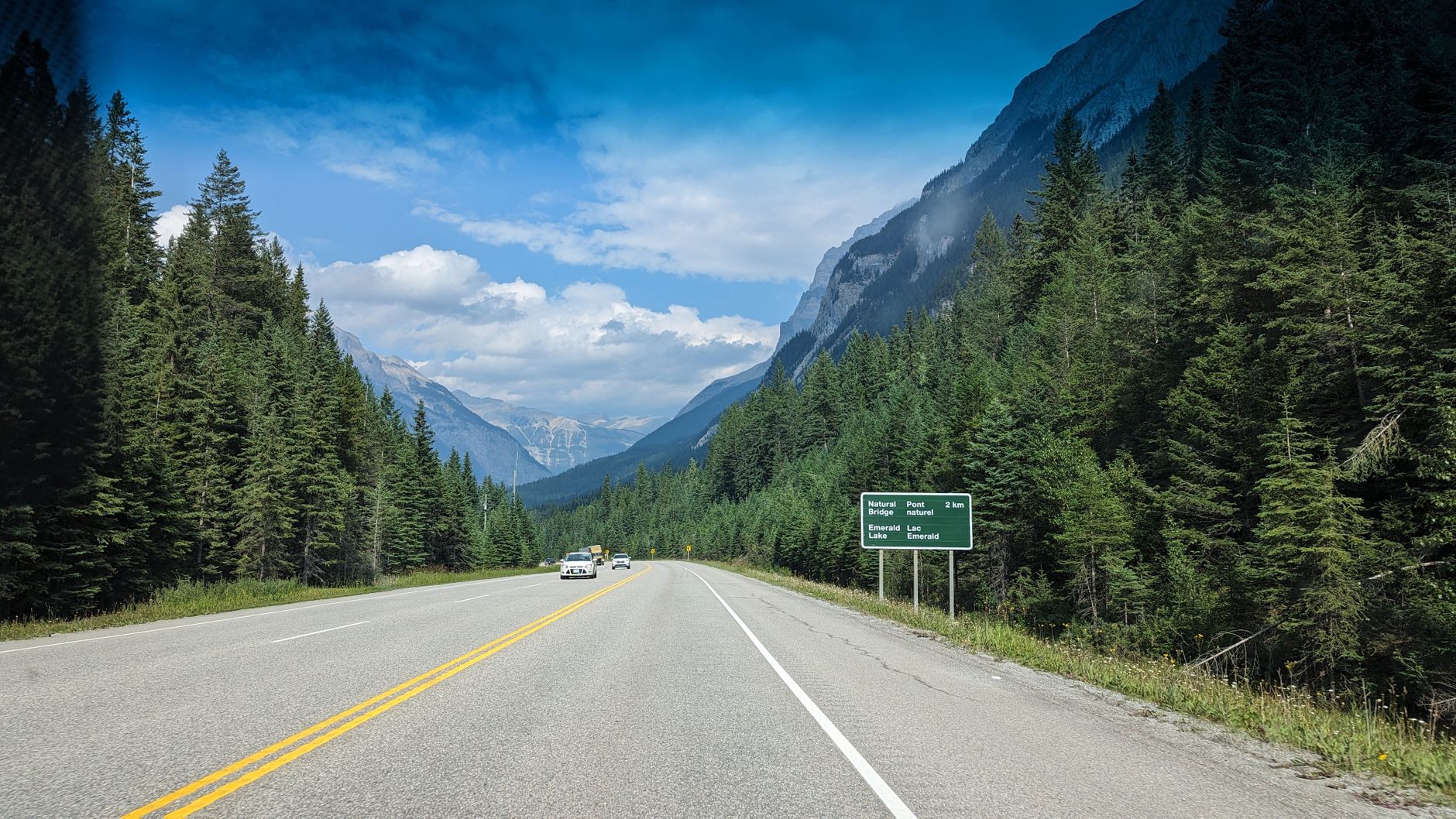
Picturesque highway scene with mountains and forest in British Columbia, Canada.
Photo: Jeff Moyer via Pexels
Pull off Highway 16 west of Edson on a Tuesday afternoon in late September and the radio goes quiet first. The truck idles. The wind takes over. Out past the windbreak there is a building the colour of weathered tea, a roofline that sags toward the south, and a sign that once read GENERAL STORE in paint that has now mostly returned to the wood. The paint has peeled away. The bones of the building still speak. The shutter clicks twice — and the silence comes back in.
This is a working field guide for photographers who want to drive Canada’s forgotten road grids without losing a day to a missed turn or a flat battery on a gravel pullout sixty kilometres from anywhere. It is built around two regions Freaktography readers know well — the prairie corridor between Edmonton and the Saskatchewan line, and the back-county grids of rural Ontario between Lambton and Grey.
It is not a list of locations. The route is deliberately loose. The point is the discipline that holds a road trip together when the buildings are 400 kilometres apart and the cell signal is not always with you.
Key takeaways
- Drive the prairie grid in late September and early October. The light is low all afternoon, the wheat is off, the bugs are gone, and the gravel hasn’t frozen yet.
- Flip to rural Ontario in early November for the same reason in reverse. The corn is down, the trees are bare, and the feedmills, schoolhouses and dairy barns stand uncovered against the sky.
- Photograph from public road allowances. Stay outside the buildings. Respect the place and respect the owner. The historical record is the work; the unauthorised-entry story is not.
- Carry paper maps for the back-county grids. Cell coverage drops out for stretches that surprise first-timers.
- Keep one line of contact open for a daily safety check-in. The work needs solitude. The driver needs a backstop.
What this road trip actually is
The Canadian abandoned-places road trip is not a single route. It is a loose arc that strings together prairie ghost stores, derelict grain elevators, abandoned country schoolhouses and silent feedmills across two regions that sit roughly 3,400 kilometres apart by road. Most photographers run it as two separate weeks rather than one continuous drive. Alberta first, then a flight to Toronto, then a week in southwestern Ontario from a Goderich or Owen Sound base.
The buildings are mostly on private land. The road allowance, the strip of public land that runs along most rural Canadian roads, typically about ten metres back from centreline, is where the work happens. That is the line the camera stands behind. That is the line the boots do not cross.
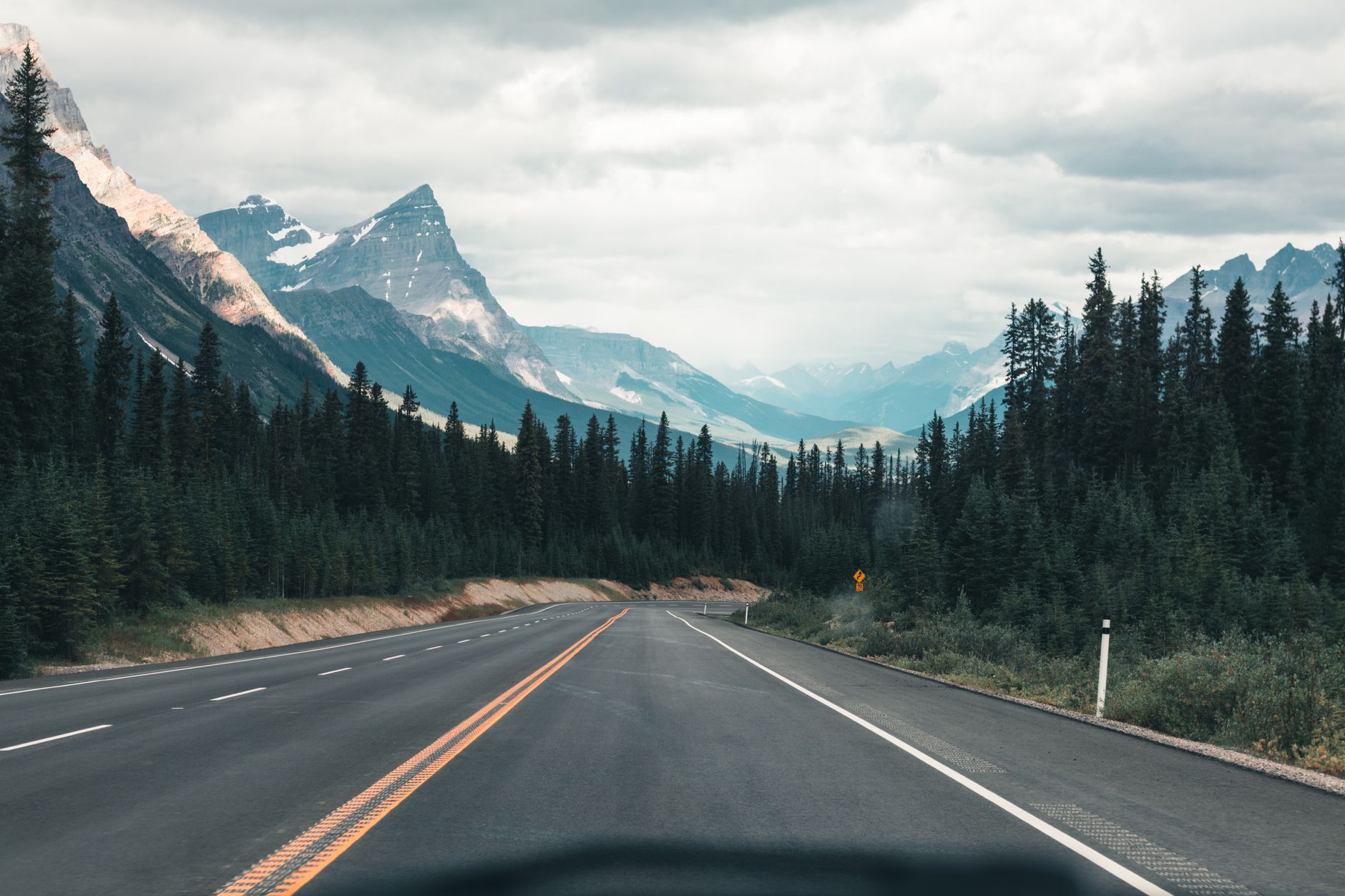
Empty highway through the majestic Canadian Rockies under a cloudy sky, framed by dense forest.
Photo: Ali Kazal via Pexels
When to drive it
Late September through mid-October on the prairie. Late October through mid-November in rural Ontario. The wheat is off, the corn is down, the leaves are gone, and the buildings stand uncovered. Light is low all afternoon by 3 p.m. and the wide horizons that the prairie grid offers are at their most generous.
Avoid July and August on both sides. The prairie heat hammers the truck cab and the mosquitos own the windbreaks. Spring is mud season on the gravel grids and you will get stuck. Winter is a different trip with different rules; don’t run this one in February without local backup.
Stage one: the Alberta prairie grid (days 1 to 5)
Base out of Edmonton. Rent a small SUV with high clearance and a full-size spare. Carry an extra five-litre jerry can of fuel and four litres of water in the back, because the distance between gas pumps east of Edson can run over 150 kilometres on the side roads.
Day 1. Edmonton to Edson via Highway 16. Roughly 200 kilometres west. The prairie is already thinning into the foothills. Stop at the road allowance south of Carrot Creek for the general store, a 1920s build that has aged into something close to a watercolour study. The roofline sags. The shutters are gone. The wood remembers.
Day 2. Edson loop through the Yellowhead County back roads. Run the gravel grid south of the highway. Expect three or four abandoned farmhouses inside a 60-kilometre triangle. Photograph from the road. Do not enter. The county still owns several parcels in legal limbo and complaints about unauthorised access carry through.
Day 3. Edson to Drumheller via Highway 22. The long south swing through Rocky Mountain House and Sundre. The Cowboy Trail. Abandoned cattle-rail crossings at every fourth concession. Plan for a 7 a.m. start and a 5 p.m. arrival because the light at the end of the day is what you came for.
Day 4. Drumheller and the Red Deer River badlands. This is not strictly an abandoned-places day. It is a reset day. The badlands give you a wide-frame landscape break before you return to the close-grain work of decaying timber. Camp light, sleep early.
Day 5. Drumheller to Edmonton via Highway 9 and Highway 21. The long way home. Stop in Hanna, Castor and a half-dozen farm sidings along Highway 21 where the grain elevators have come down in the last twenty years and the concrete pads remain. Concrete remembers too.
Stage two: the southwestern Ontario back-county grid (days 6 to 10)
Fly into Toronto. Drive west. Base out of Goderich or Owen Sound. The geography changes completely. Where Alberta gives you horizon, Ontario gives you bush: second-growth maple and oak hemmed tight against limestone road cuts, with the buildings tucked back from the road behind a screen of bare trees.
Day 6. Toronto to Goderich via Highway 8. Roughly 220 kilometres. Stop in Stratford for coffee. Cross into Huron County. The Bayfield-Goderich road is lined with century farmhouses, several of them quietly abandoned and standing on the road allowance line.
Day 7. Lambton and Huron county loop. Run the grid west of Goderich through Zurich, Dashwood and Grand Bend. The derelict feedmills along the old Pere Marquette rail bed are the day’s anchor. Several of them carry painted lettering that has not been repainted since the 1960s.
Day 8. Grey County loop through Owen Sound and Meaford. The Niagara Escarpment side of the back-county. Abandoned dairy barns set against rising limestone. The light here is greyer than on the prairie: softer, more diffuse, kinder to the bare-tree compositions that this stage of the trip is built around.
Day 9. Bruce Peninsula southern half. Up Highway 6 to Wiarton and east through Hepworth. Several abandoned cottages along the inland lakes. Photograph from the public road allowance. Many of these properties are in active estate dispute and a polite distance is the only respectful angle.
Day 10. Loop south back to Toronto via Highway 21 and 401. Long driving day. End it before dark. The trip closes the way it opened, with the radio off and the wind reasserting itself.
Staying online across the route
Cell coverage on the Alberta and rural Ontario gravel grids is not what a city-based photographer expects. The big-three Canadian carriers, Rogers, Bell and Telus, share infrastructure on most rural towers, but coverage thins fast once the truck leaves the paved arterial. Highway 16 holds LTE. The gravel grid south of Edson does not, in stretches.
What the connection actually looks like on each stage
On the prairie corridor between Edmonton and Edson, expect a strong LTE line along Highway 16 itself and a steady drop to one or two bars on the back roads. The gravel grid between Carrot Creek and the Yellowhead County back triangle has dead zones that run for ten or fifteen kilometres at a stretch. In Drumheller and the badlands, town coverage is fine; the river coulees themselves are not. In rural Ontario, the Goderich-to-Wiarton corridor holds workable LTE along Highway 21, but the Lambton feedmill grid and the Bruce Peninsula inland concessions both have stretches where the phone shows no service at all.
A Canadian carrier line for safety check-ins
The reason this matters is not the work. The work happens with the phone in airplane mode and the camera in hand. The reason this matters is the daily 7 p.m. check-in to a partner or a friend back home, the weather warning that pings in the morning, and the ability to call out of a flat-tire situation on a back concession at dusk.
A photographer who treats Canada as a once-a-year trip can run the existing carrier plan and accept the rural coverage gaps. Photographers running the prairie and Ontario grids in the same fortnight, or those visiting from outside Canada altogether, benefit from a data line that piggybacks the strongest local tower on every stretch. On a recent contributor run of this two-region itinerary, the team loaded the HelloRoam plan for Canada and it routed through Bell on the Highway 16 corridor, which mattered on the Yellowhead County back triangle because Bell holds the only workable rural tower coverage past the windbreak south of Carrot Creek. One install, two regions, no kiosk queue at the airport.
Coverage snapshot
| Stage / Route | Local carrier you’ll see on the phone | Reliable for safety check-ins? | Where it dips |
|---|---|---|---|
| Edmonton to Edson, Highway 16 corridor | Rogers, Bell, Telus (full LTE) | Yes, full-time | Inside the rail underpass at Edson |
| Yellowhead County back grid | Bell (primary) | Yes, at high points | Gravel coulees south of Carrot Creek |
| Drumheller and Red Deer badlands | Telus (primary) | Yes, in town | Inside the river coulees |
| Goderich and Huron County | Rogers (primary) | Yes, along Highway 21 | Lambton feedmill grid concessions |
| Bruce Peninsula southern half | Bell (primary) | Yes, on the highway shoulder | Inland concessions north of Hepworth |
A respectful working ethic
This is not a trip that benefits from speed. Photographers who run it well plan four buildings a day, not twelve. They knock on the farmhouse door when there is one. They thank the township for the road allowance. They do not post GPS coordinates publicly. They do not name a building that is on land in legal dispute. They keep a folder of historical-record research, builder names, decade of construction, economic context, and they treat that research as part of the work.
The corollary is that the camera stays outside. The bones of the building still speak from the road allowance. There is nothing inside a derelict farmhouse that justifies stepping through the door without permission — and the photographers whose work travels furthest in the long run are the ones who never had to argue that point with a landowner in the first place.
Frequently asked questions
Q. What’s the best month to do a Canadian abandoned-places road trip? Late September through mid-October on the prairie; late October through mid-November in rural Ontario. Crops are off, leaves are down, light is low all afternoon, and the buildings stand uncovered.
Q. Do I need a four-wheel-drive vehicle? A small SUV with high clearance is usually enough on the gravel grids in dry weather. After heavy rain or once the mud has set in, four-wheel-drive becomes the difference between making it home and waiting six hours for a tow.
Q. Is it legal to photograph abandoned buildings in Canada? Photographing from the public road allowance is legal across both Alberta and Ontario. Entering the property without the owner’s permission is a provincial-law offence, regardless of whether the building is occupied or derelict.
Q. How do I stay safe on a solo road trip through rural areas? File a daily route with a partner. Carry water, a paper map and a charged phone. Schedule a 7 p.m. check-in by text. Keep a small Canadian carrier data line active so the check-in goes through even when the home plan drops out.
Q. Should I share the locations I photograph? Name the region, not the parcel. Most photographers who have worked the prairie and rural Ontario grids for several years protect specific addresses to keep landowners out of the way of vandalism and curiosity traffic.
It’s these quiet, unassuming road grids that remind you how much of the country was once lined with family-run sidings, country stores and feedmills, each holding a story the wood remembers even after the paint has gone.