The Mason-Smith Farmhouse: A Century of History at 6583 Trafalgar Road, Milton Ontario
A vanishing piece of Trafalgar Township, standing at the edge of Milton's urban expansion
Where It Sits
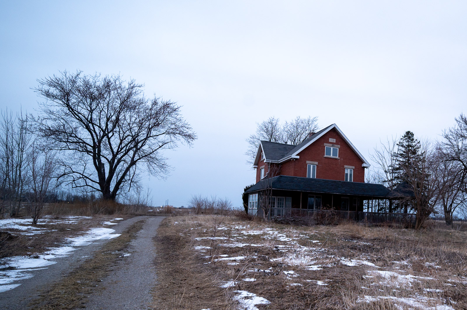
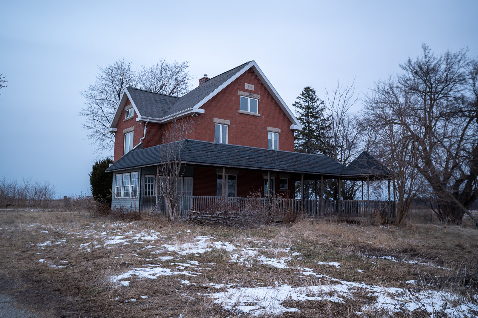
Just south of Derry Road on the east side of Trafalgar Road, on the outskirts of Milton, Ontario, sits a red brick farmhouse that has watched more than a century of change roll past its front door. The property runs about 32.5 hectares (80 acres) deep off the road, reached by a long, tree-lined driveway that loops around in front of the house. Fields still stretch out behind it. A single utilitarian shed is all that remains of what was once a working farm complex.
For now, anyway. The bulldozers of the GTA’s westward sprawl are already on the horizon.
The Land Before the Farm
Long before any farmhouse stood here, this land was home to Indigenous peoples for thousands of years. Archaeological surveys within a kilometre of the property have turned up evidence of pre-contact campsites, part of a much larger record of occupation stretching back to roughly 9000 to 8400 BC. By the Woodland period, the Neutral Nation, an Iroquoian-speaking people who farmed corn, beans, and squash and lived in longhouse communities, occupied the wider region. The Red Hill Trail, an important Indigenous travel route linking the Twelve Mile and Sixteen Mile Creeks, ran through what would become Trafalgar Township.
The land itself is covered by the Head of the Lake Purchase, a treaty signed in 1806 between the Crown and Mississauga representatives. Trafalgar Township was surveyed the following year by Samuel Wilmot and named for Nelson’s 1805 victory at the Battle of Trafalgar, the same naming convention that gives us Trafalgar Road today.
From Crown Grant to Farming Family
The specific parcel, Lot 9, Concession 8 of old Trafalgar North Township, was patented by the Crown to King’s College (the forerunner of the University of Toronto) in 1828. It stayed institutional land for nearly two decades until 1846, when King’s College sold the western 100 acres to a farmer named John Bussell.
What followed was a fairly typical 19th century chain of rural land ownership:
- John Bussell farmed the land until his death in 1857. The property passed to his son Daniel.
- Daniel sold it almost immediately, in 1858, to John Mason.
- Mason later split ownership of the parcel between his sons, with William James Mason ending up as owner by 1871.
William James Mason was an Irish-born farmer who, with his wife Elizabeth, raised four children on the property: Margaret, George, William Emerson, and Solomon. The 1877 county atlas shows a homestead and orchard on the Mason land, though notably in a different spot than today’s house, just north of the current building site. That original farmhouse had disappeared from the map by 1915.
William James Mason died of a stroke in 1899. Ownership passed down through his widow Elizabeth to their son, William Emerson Mason, who didn’t formally take title until 1904, after his mother’s death.
1915: The House You See Today
Here’s where the story most people are interested in actually begins. William Emerson Mason married Dolly Ann Matilda Orr in June 1915, the same year a datestone on the house’s south gable confirms it was built. The newlyweds, both in their forties at the time, only lived there for about five years before selling to John Russell Smith and his wife Bessie in 1920.
The Smiths were the longest settled owners of the “new” house, appearing in the 1921 and 1931 census records as farmers living in the brick house. Aerial and topographic maps through the late 1930s and early 1940s show little change to the property beyond a new outbuilding added southeast of the house.
Mid-Century Hands
The farm changed ownership several more times through the mid-20th century:
- 1945: Granted to William Henry and Virginia Shaw. A 1954 aerial photo shows a barn southeast of the house and heavier tree cover around the buildings.
- 1957: Passed to their son, Donald Chester Shaw.
- 1960: Passed to William Douglas Shaw, who appears in 1962 voter records farming the land with his wife Helen.
A Curious Hollywood Footnote
In 1970, the property was placed in trust under a man named Victor Solnicki, and this is where the property’s history takes an unexpected turn toward the film industry. Solnicki went on to become a notable Canadian film producer and writer, associated with cult horror classics of the late ’70s and early ’80s including The Brood (1979), Scanners (1981), and Videodrome (1983), all David Cronenberg films that helped define an era of Canadian body horror cinema. There’s no evidence Solnicki ever lived at the farmhouse himself. His connection to the title appears to have been administrative or financial rather than residential, likely tied to an estate or corporate arrangement rather than personal ownership.
The Gruehl Era and Modern Ownership
In 1973, the land was sold to Frederick Wilhelm Gruehl, a University of Guelph graduate working as a real estate broker in Toronto. The Gruehl family held the property the longest of any owner in the modern chain of title, over two decades, with ownership transferring to his wife, Ursula Gruehl, in 1994.
Sometime during the latter half of the 20th century, a man-made pond appeared east of the house. It would later be filled in by 2013. The old barn and farm outbuildings were eventually demolished, leaving the house increasingly isolated on its own lot as the working farm around it wound down.
In 2012, the Gruehl family sold the property to Hanover Trafalgar Farms Limited, and in 2020 it transferred again to Milton Sheva Land Limited, corporate entities tied to the development industry, signaling the property’s shift from farmland to a landbanked parcel awaiting urban development.
The House Today
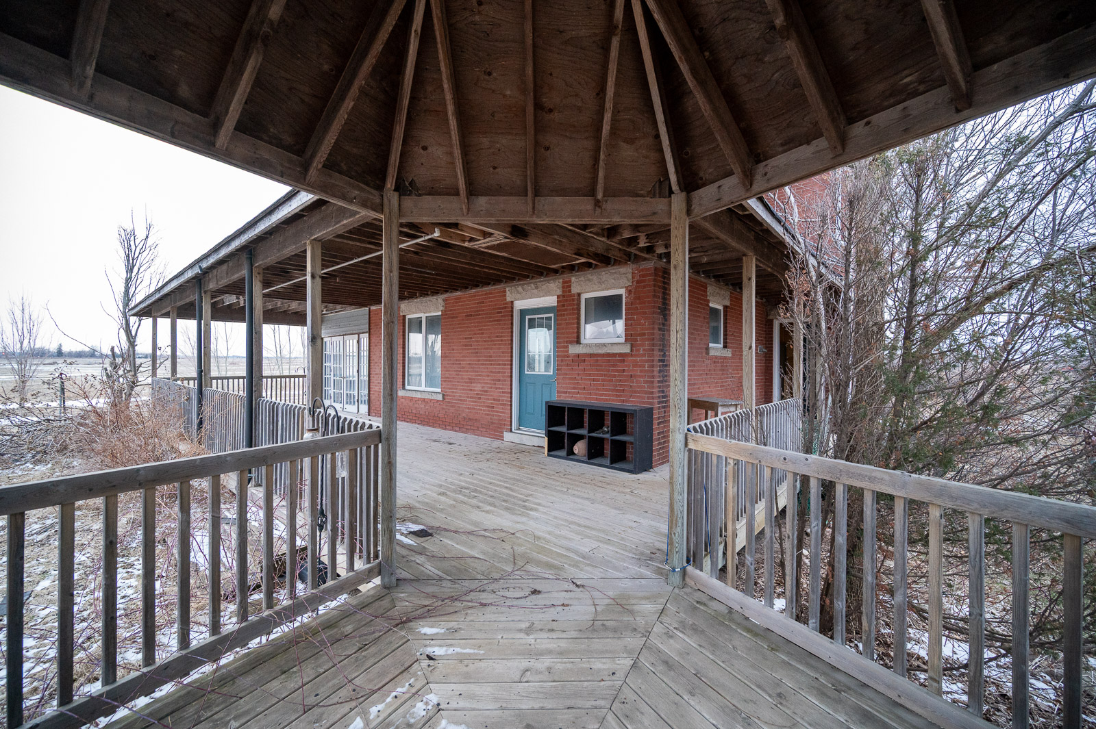
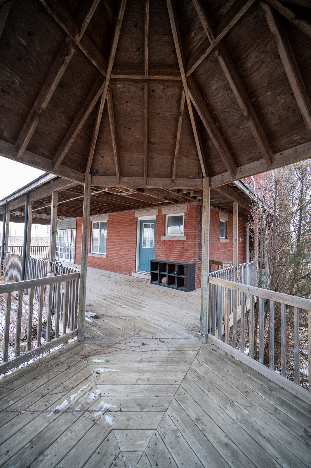
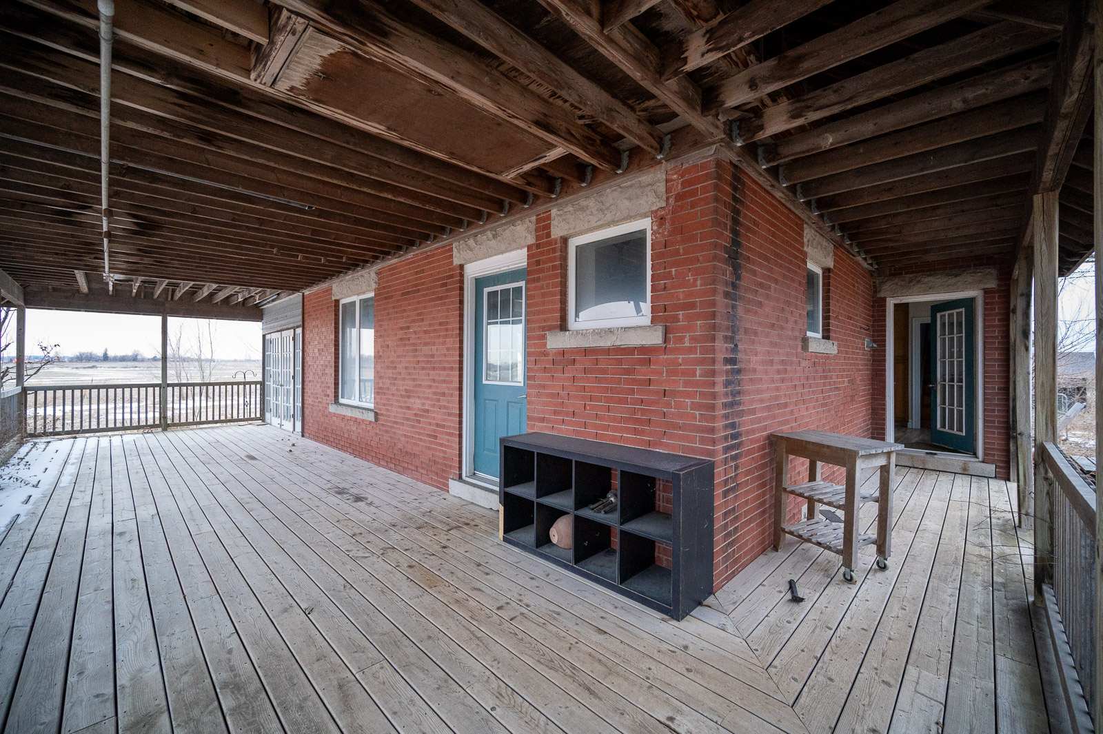
A 2025 site inspection, conducted as part of a formal heritage evaluation, found the farmhouse still standing: a two and a half storey red brick building with a cross-gabled roof, return eaves, a brick chimney, and stone lintels and sills around the window and door openings, all fairly typical of vernacular rural Ontario construction from the period. The original L-shaped footprint (with a north and west addition dating to construction in 1915) is intact, and the 1915 datestone remains visible on the south gable.
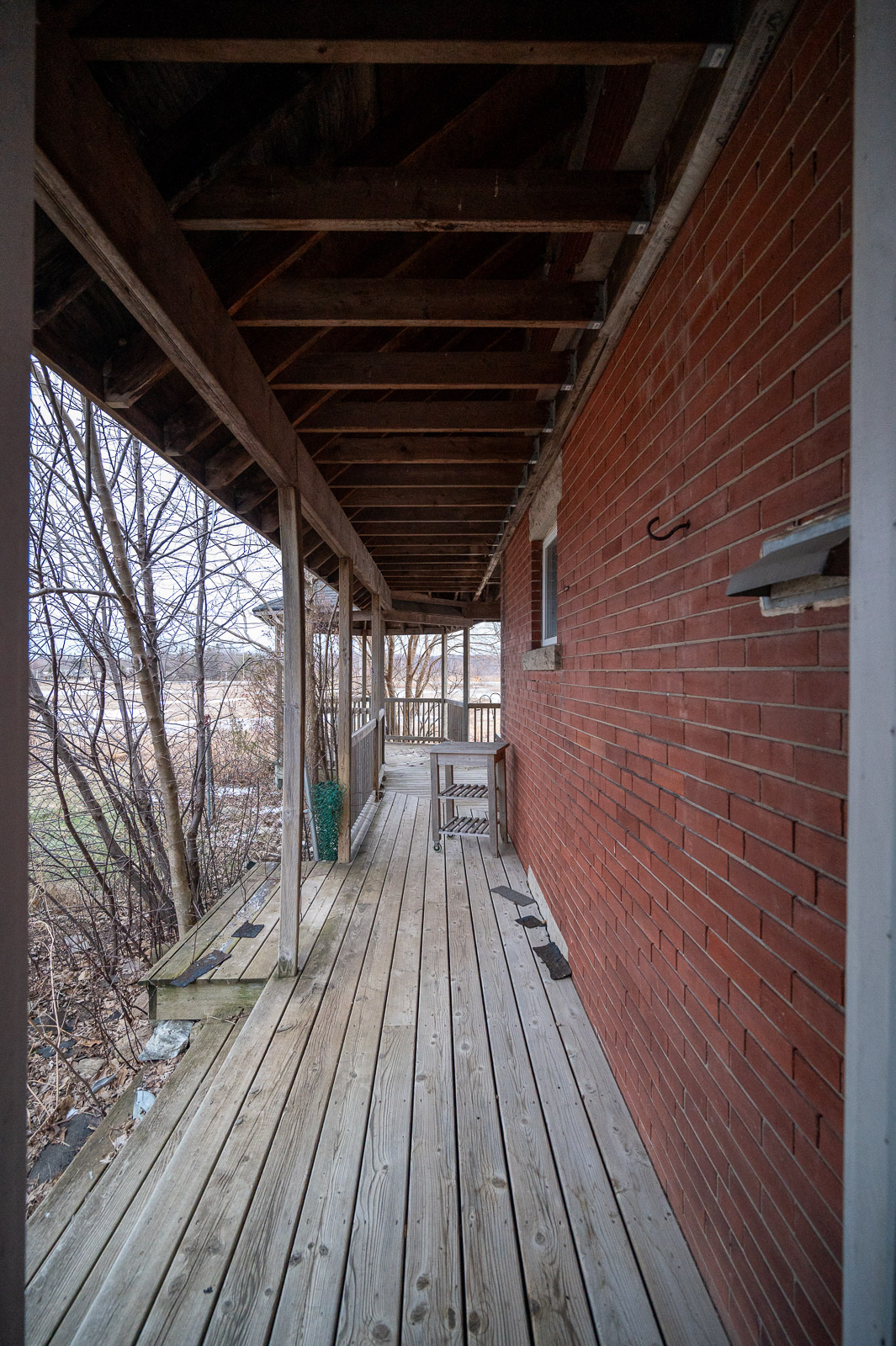
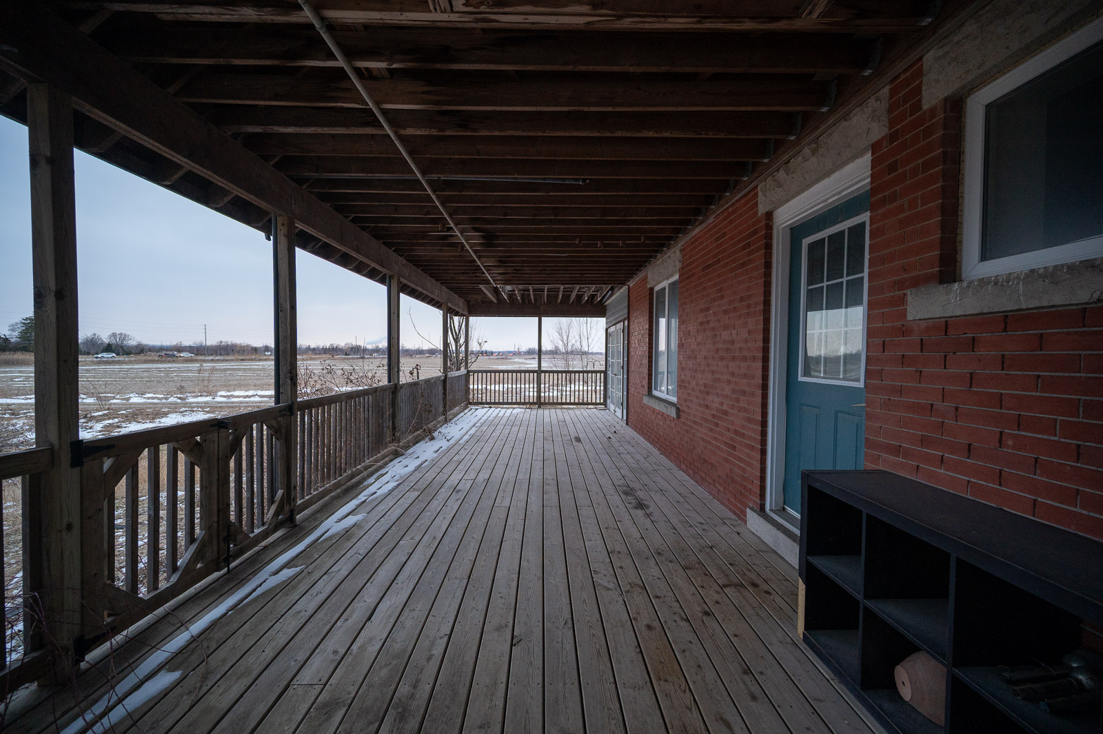
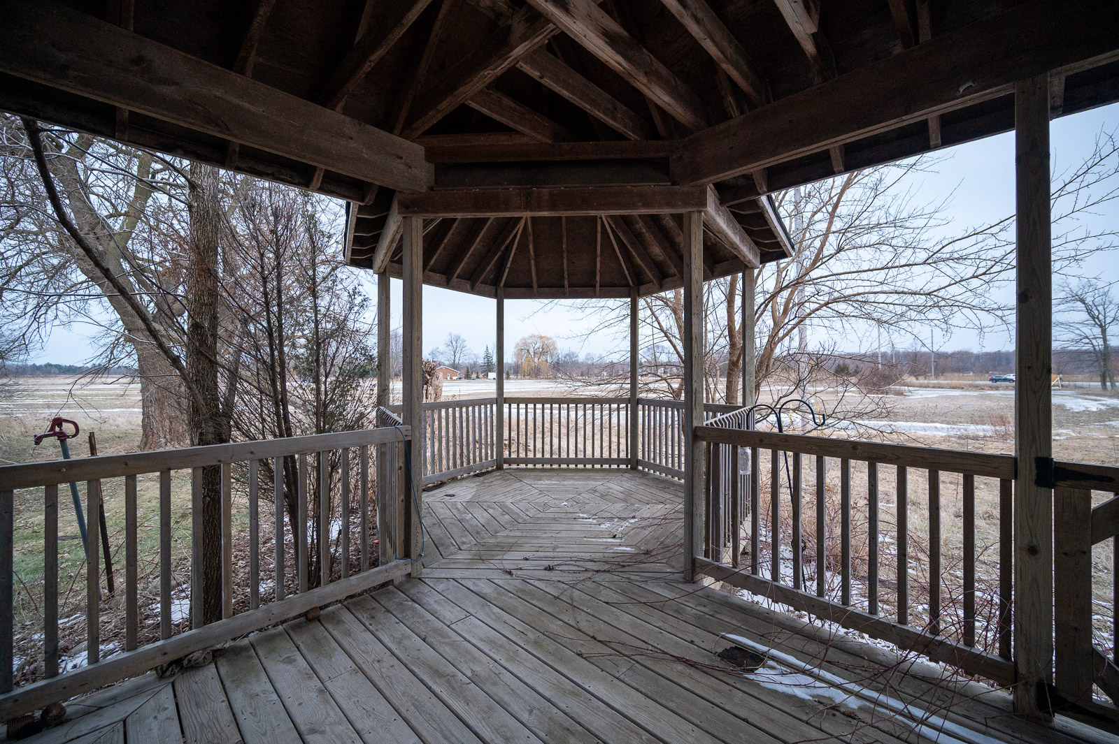
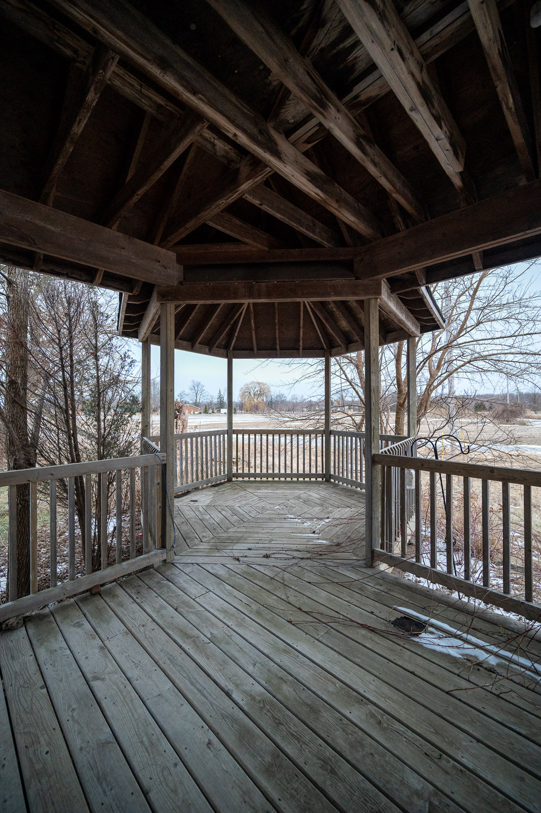
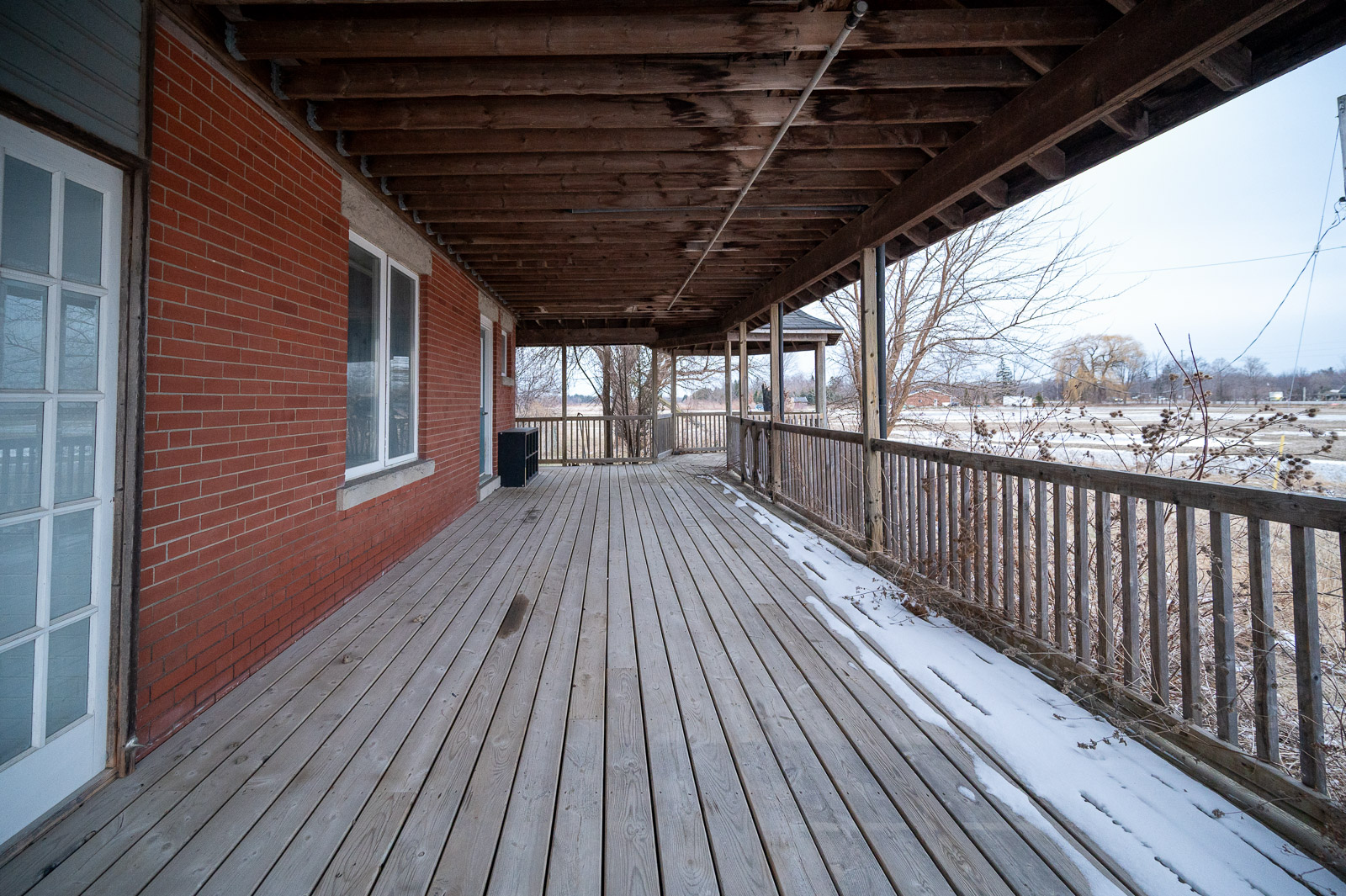
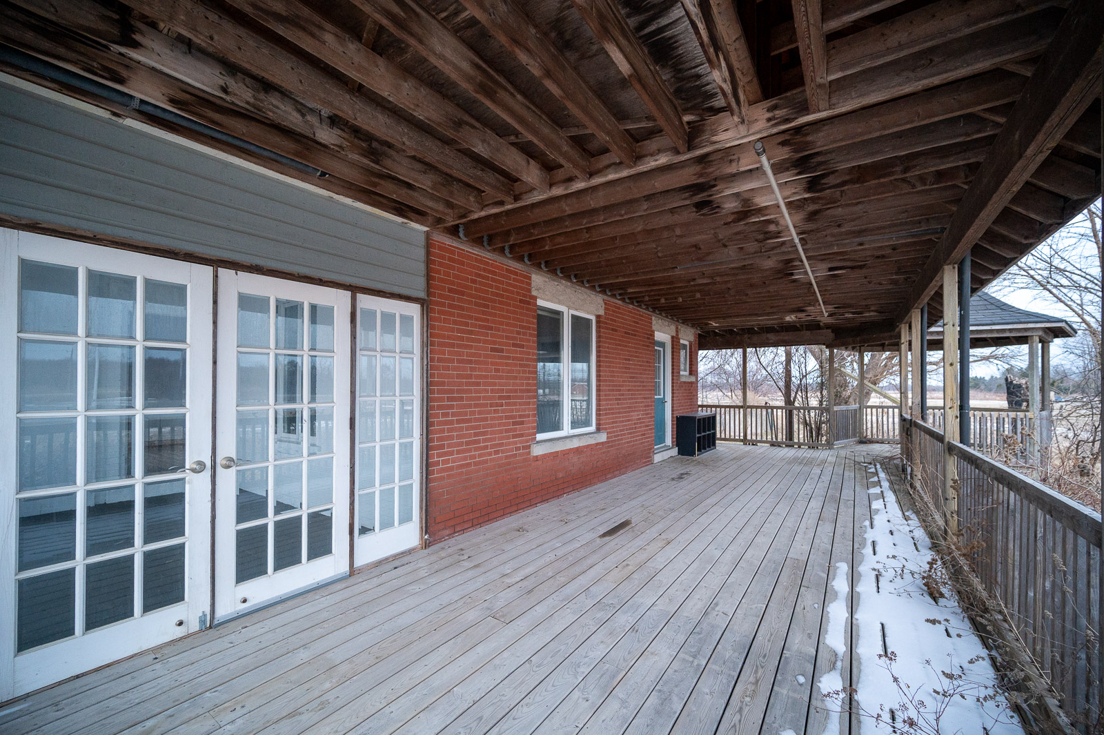
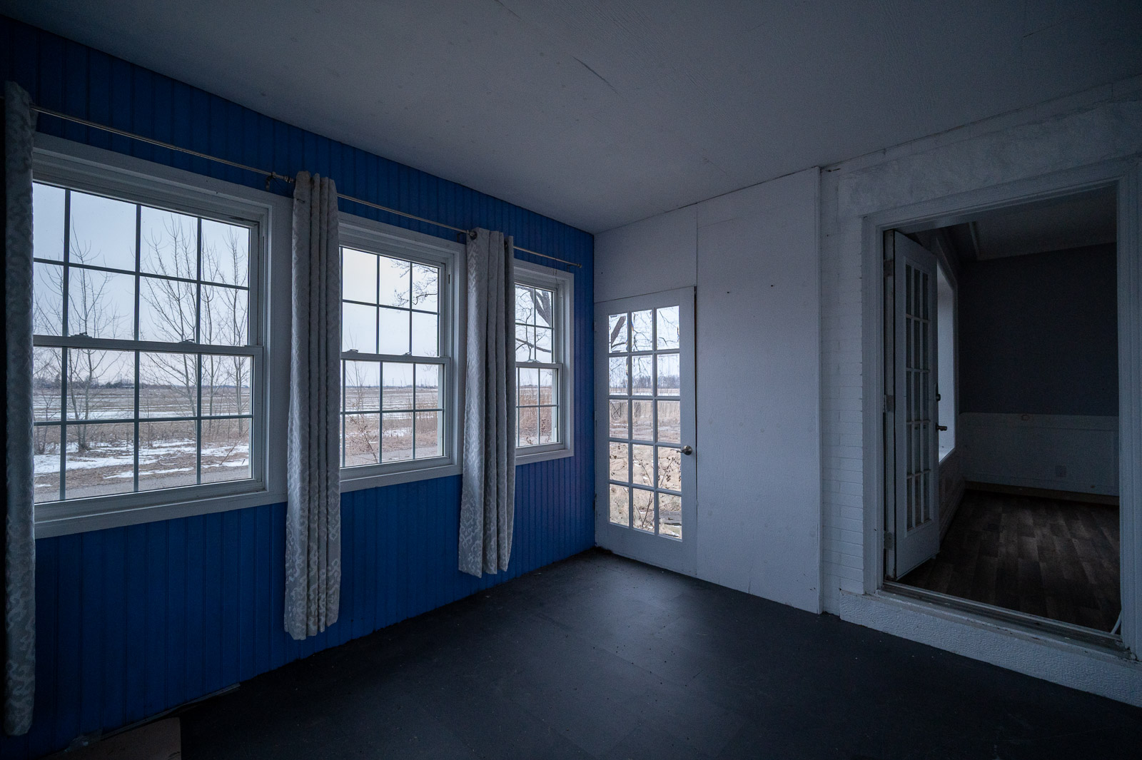
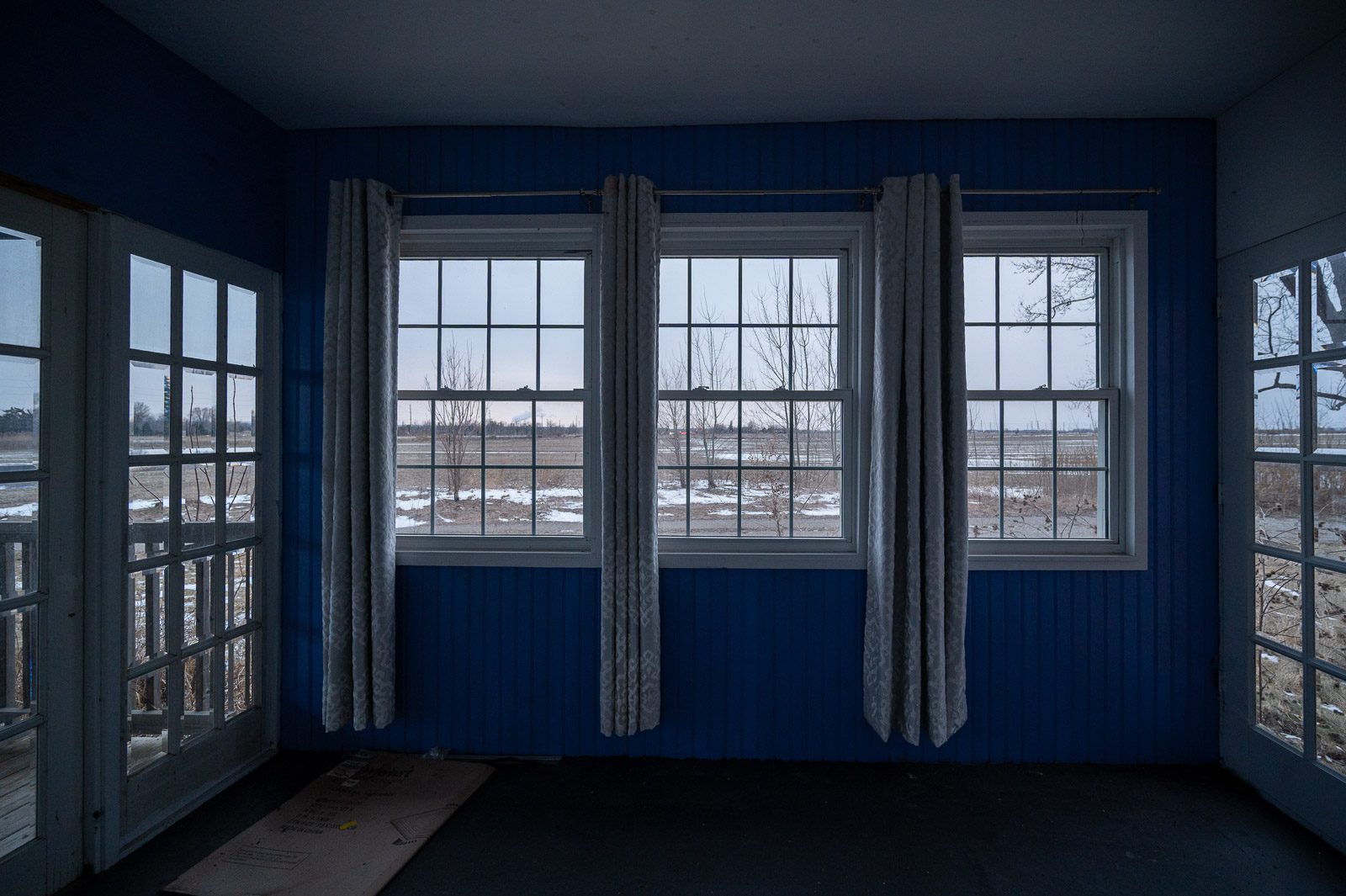
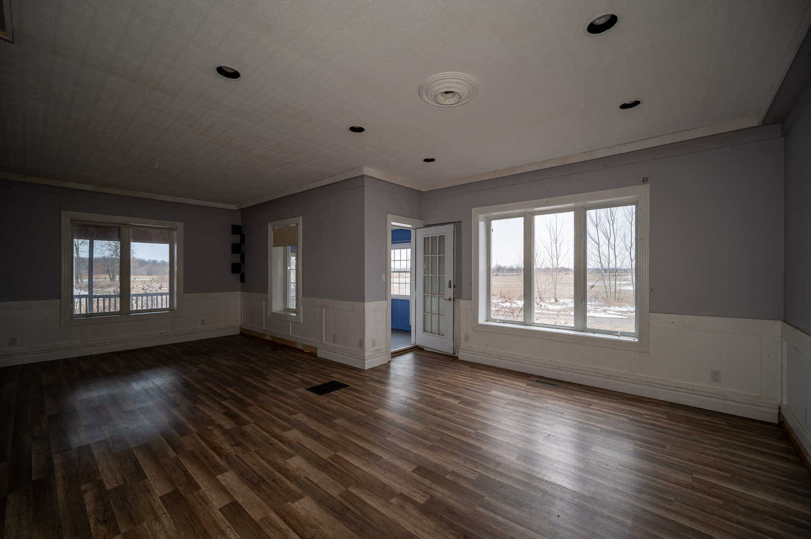
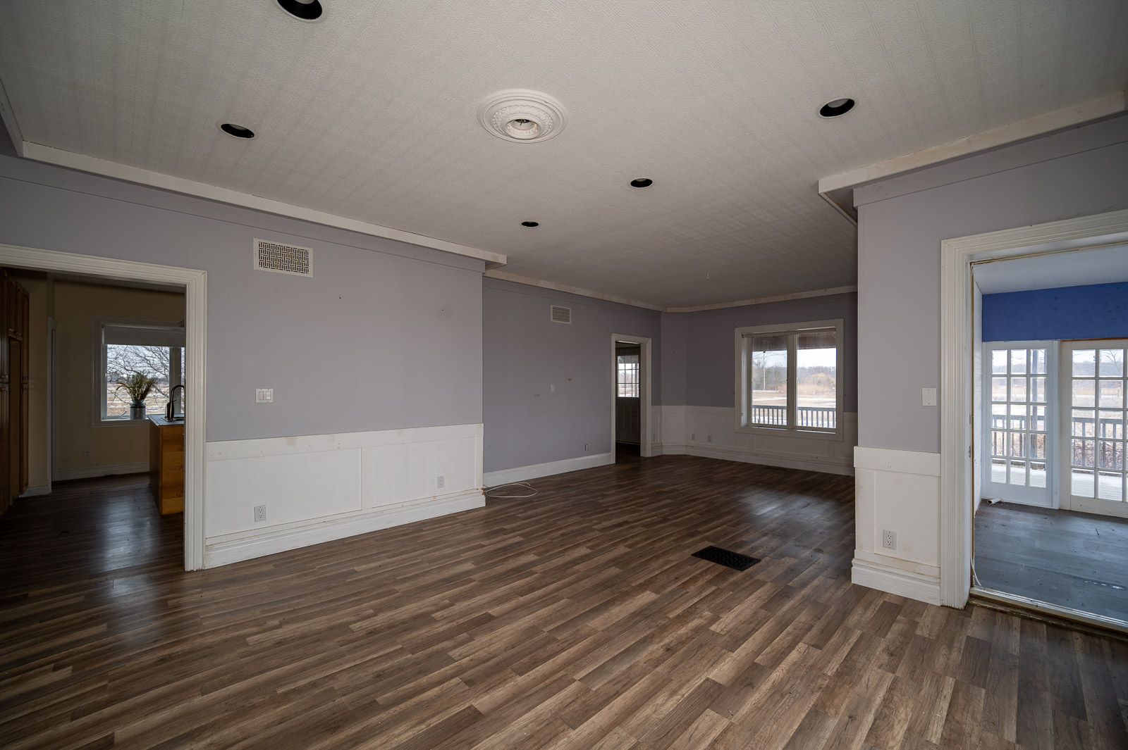
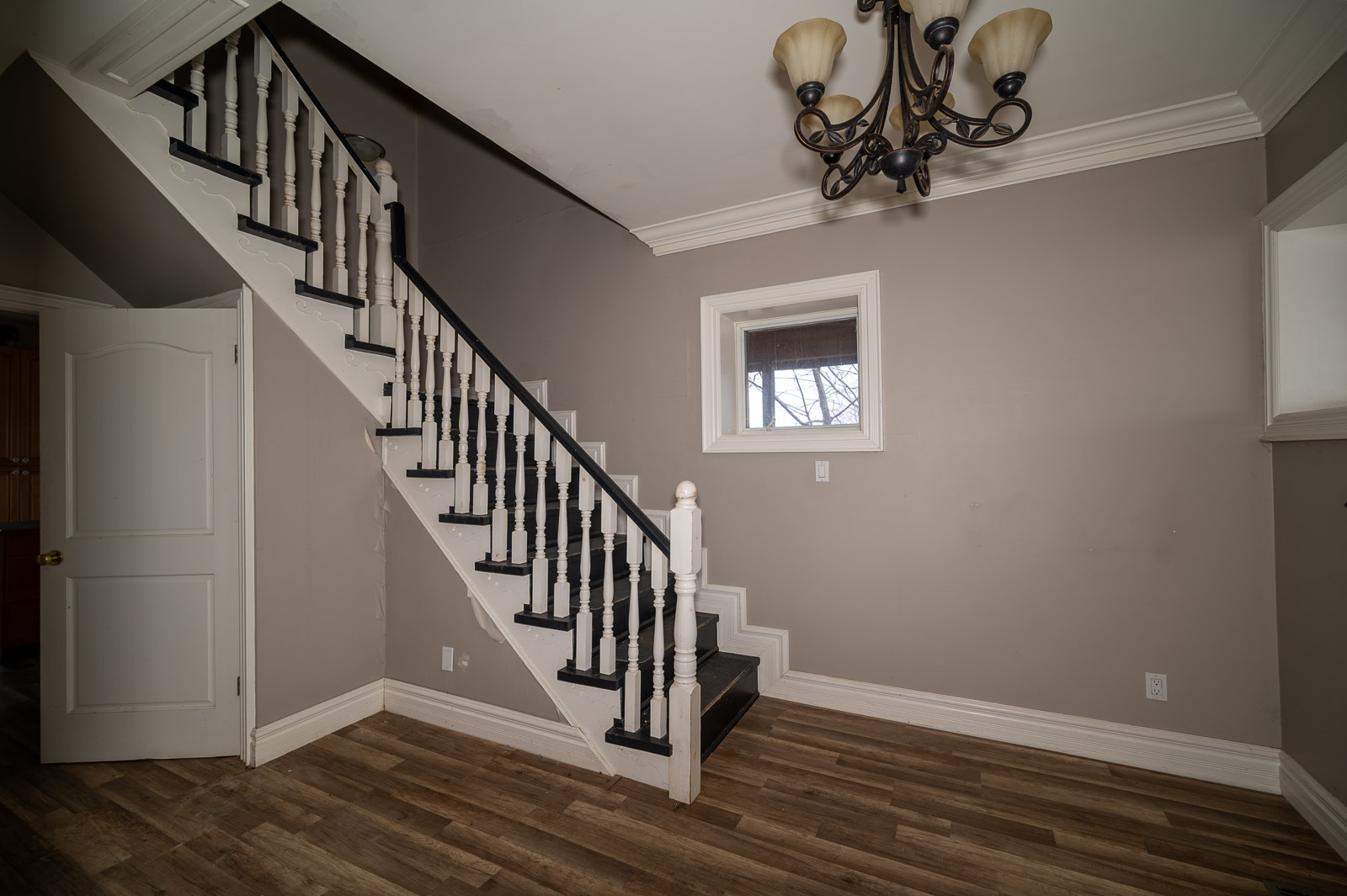
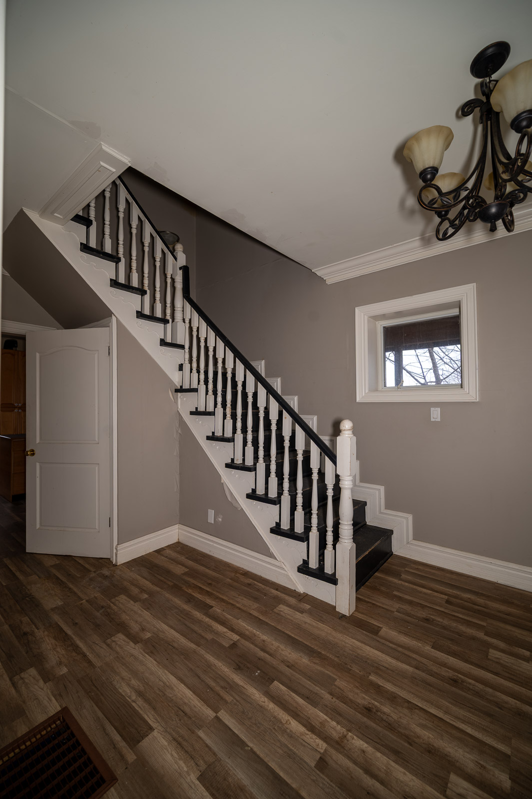
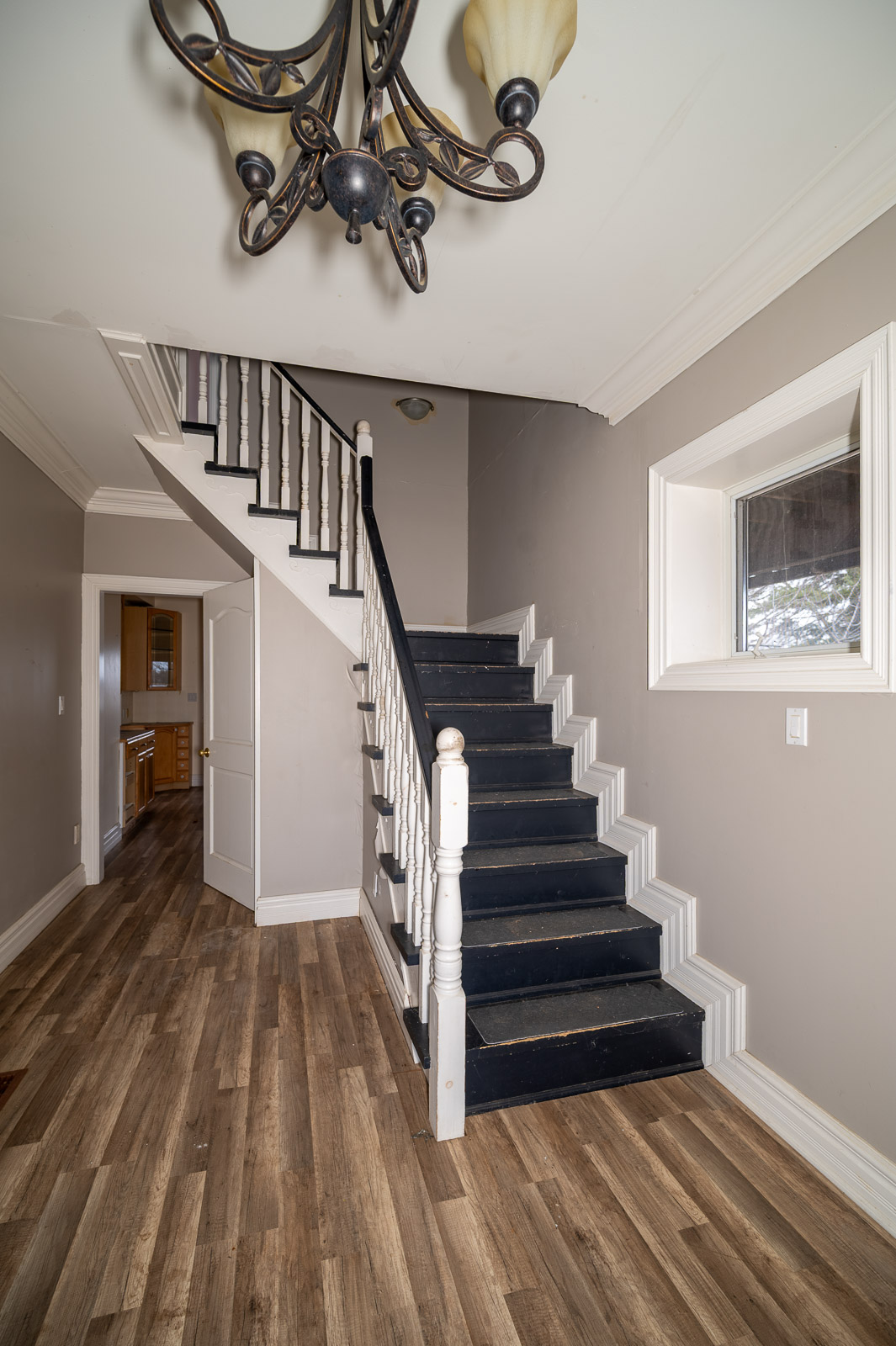
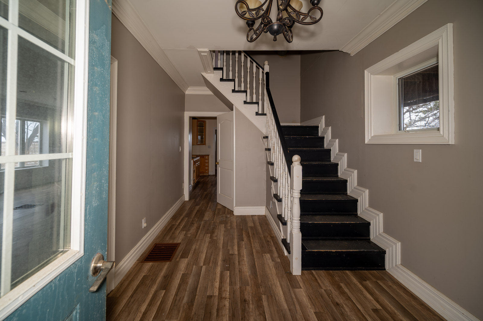
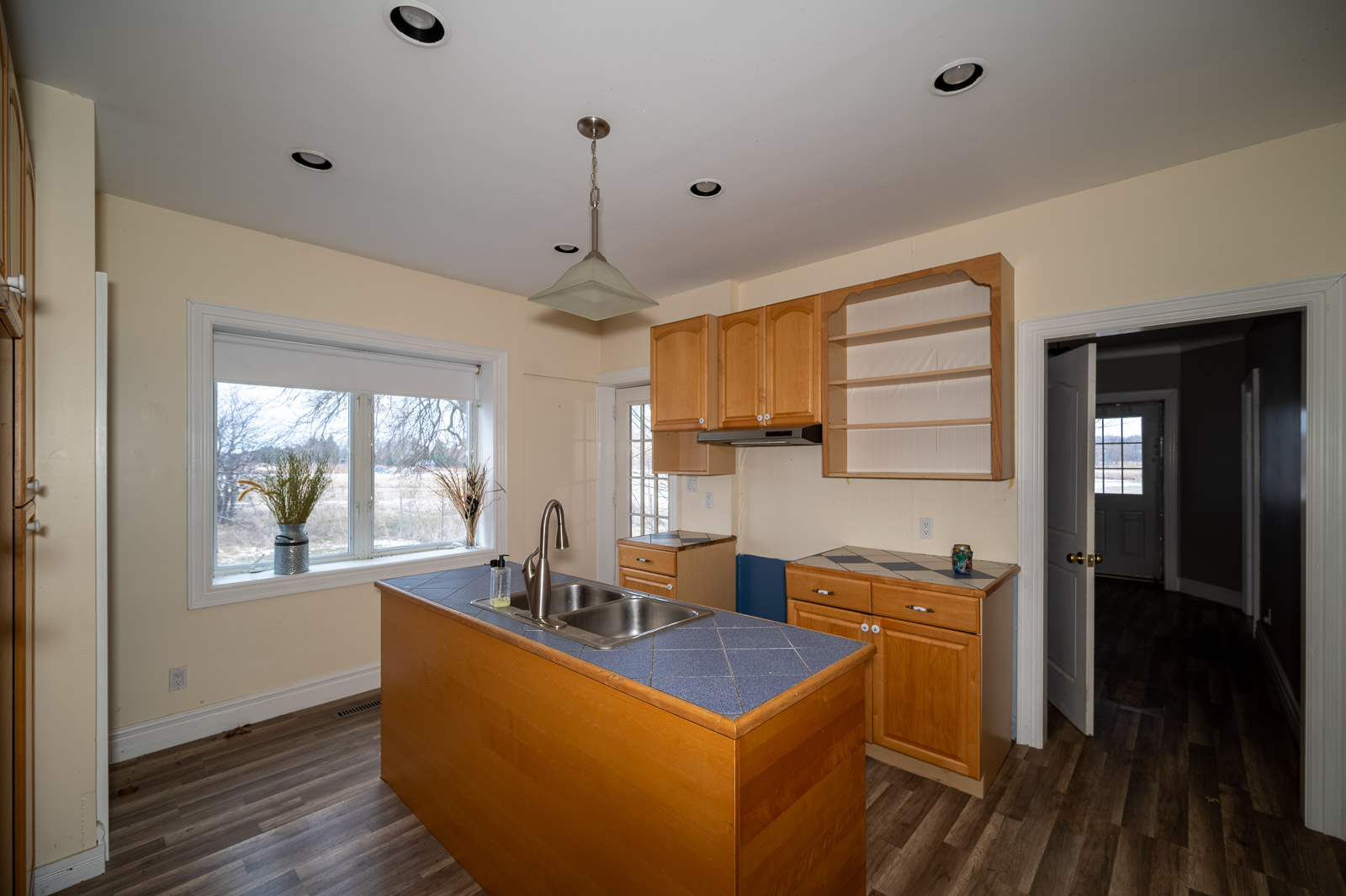
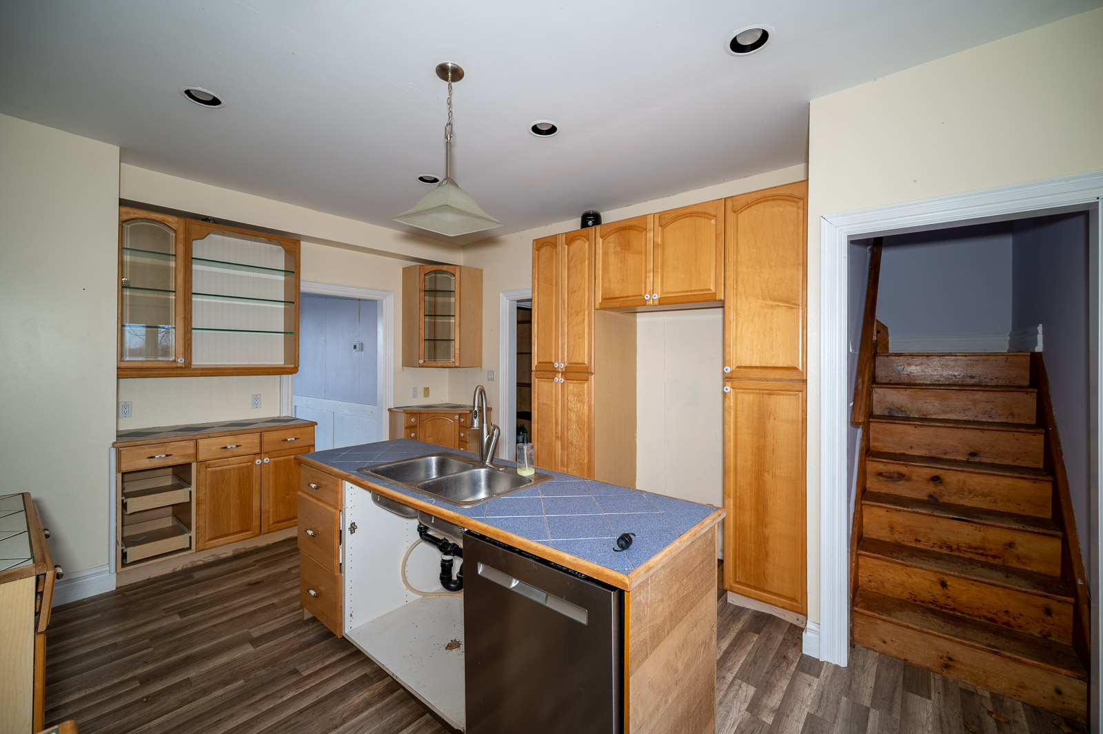
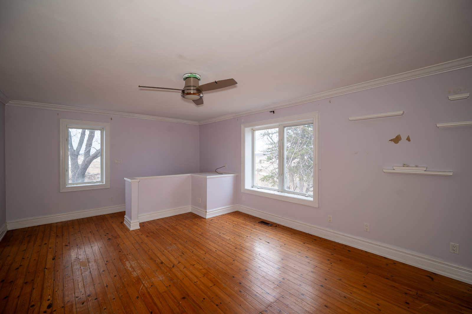
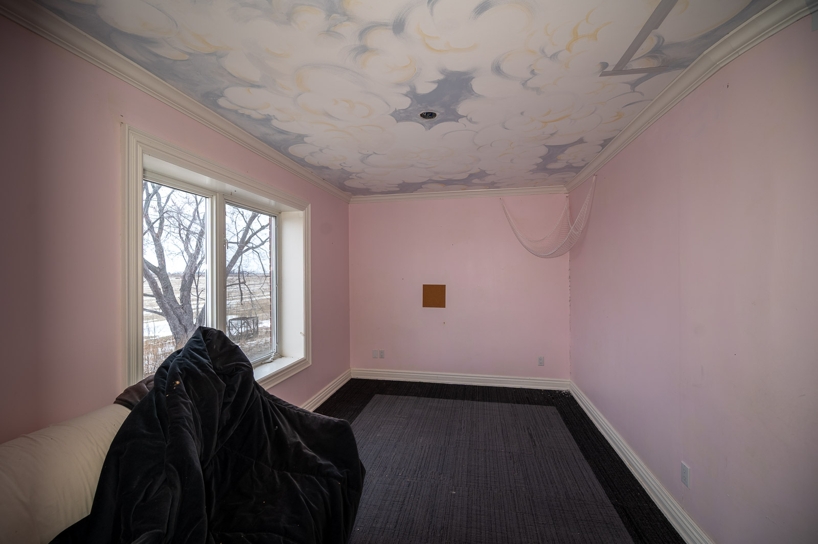
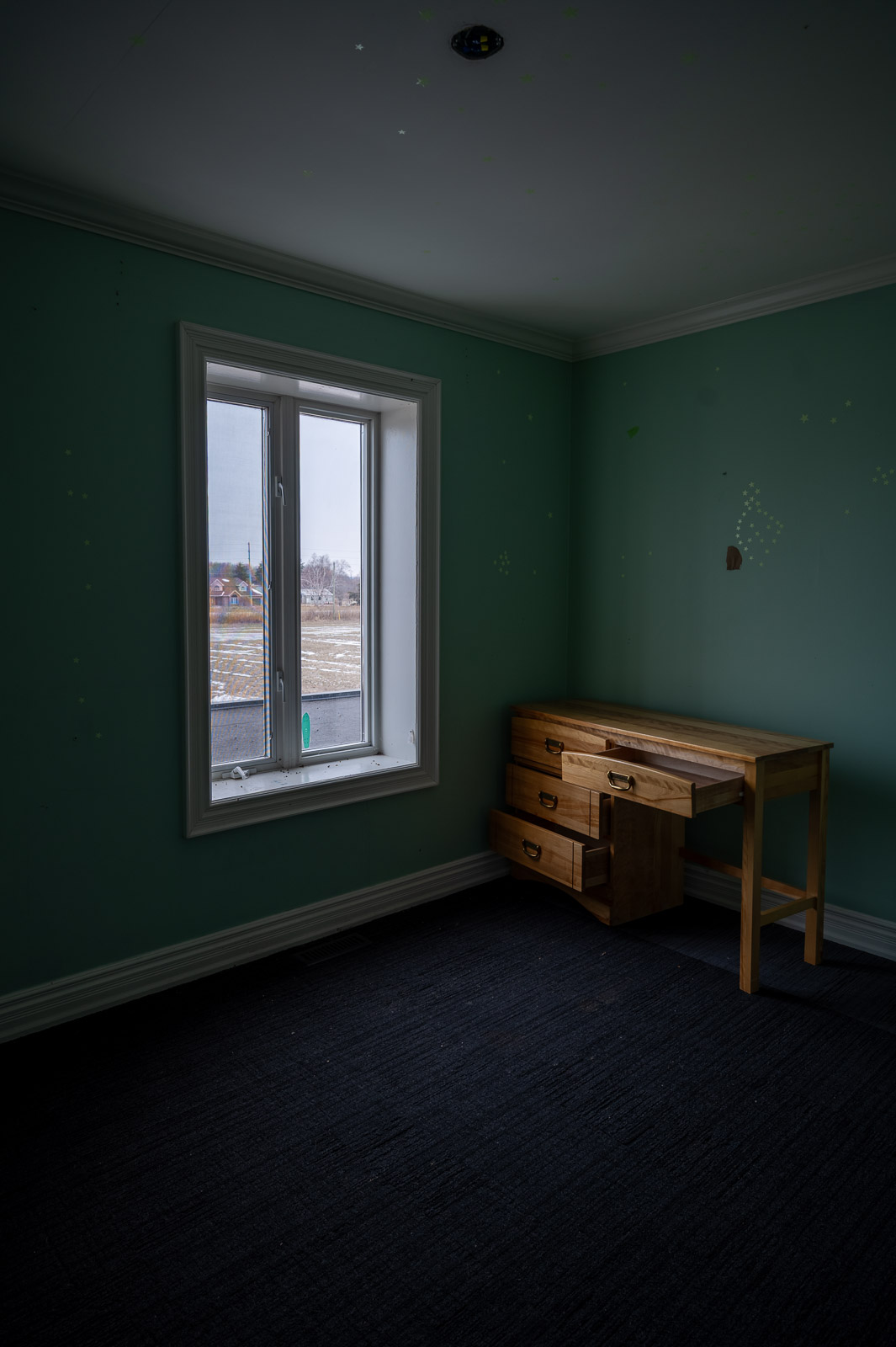
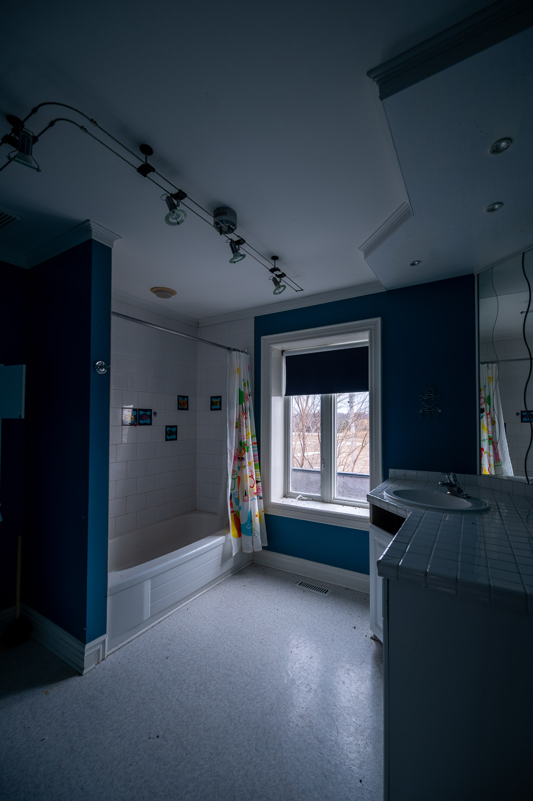
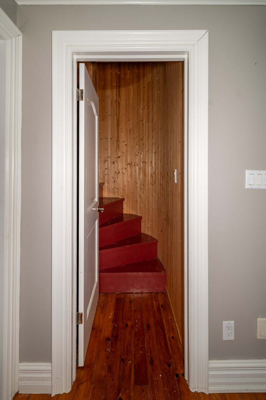
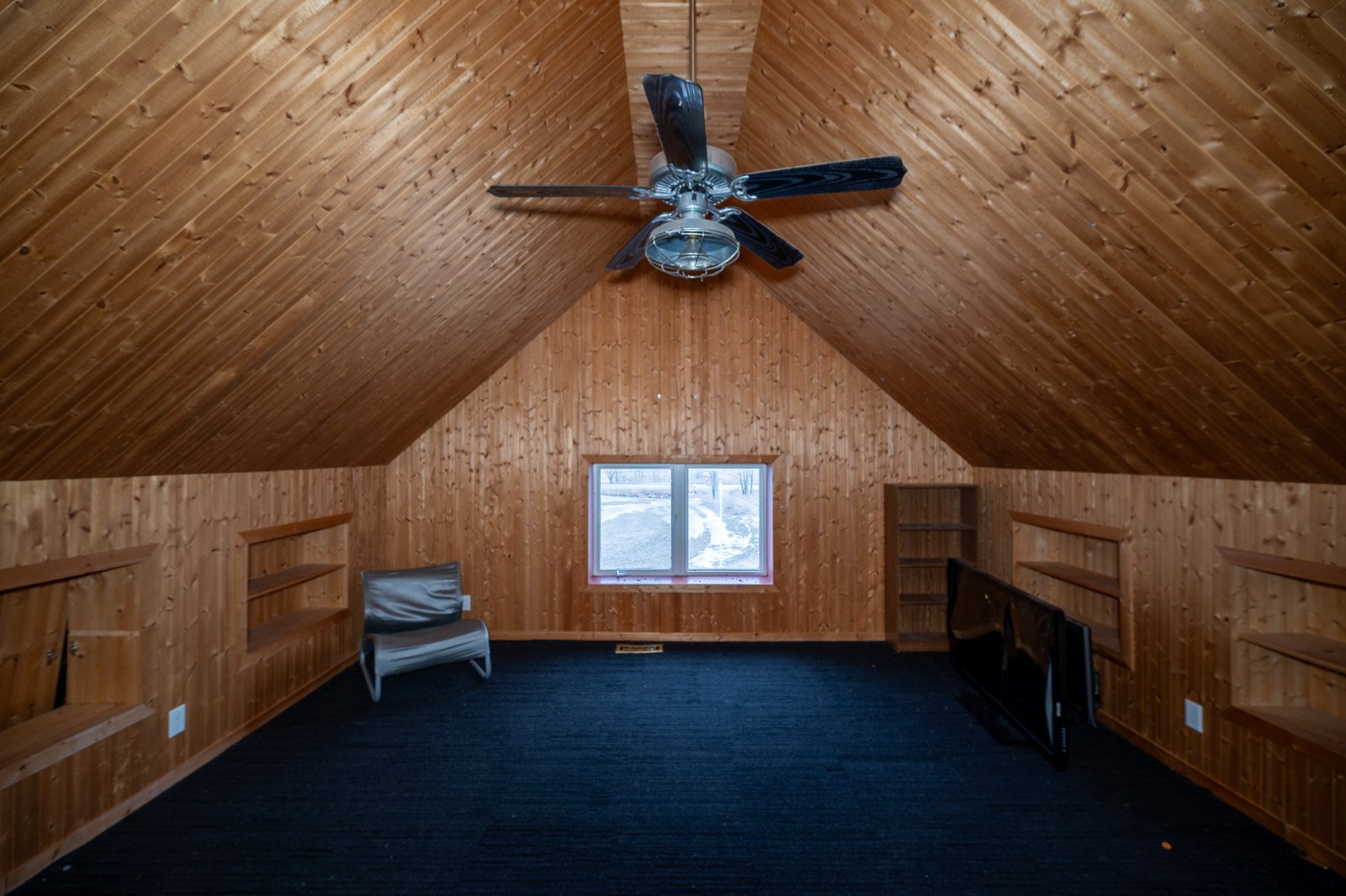
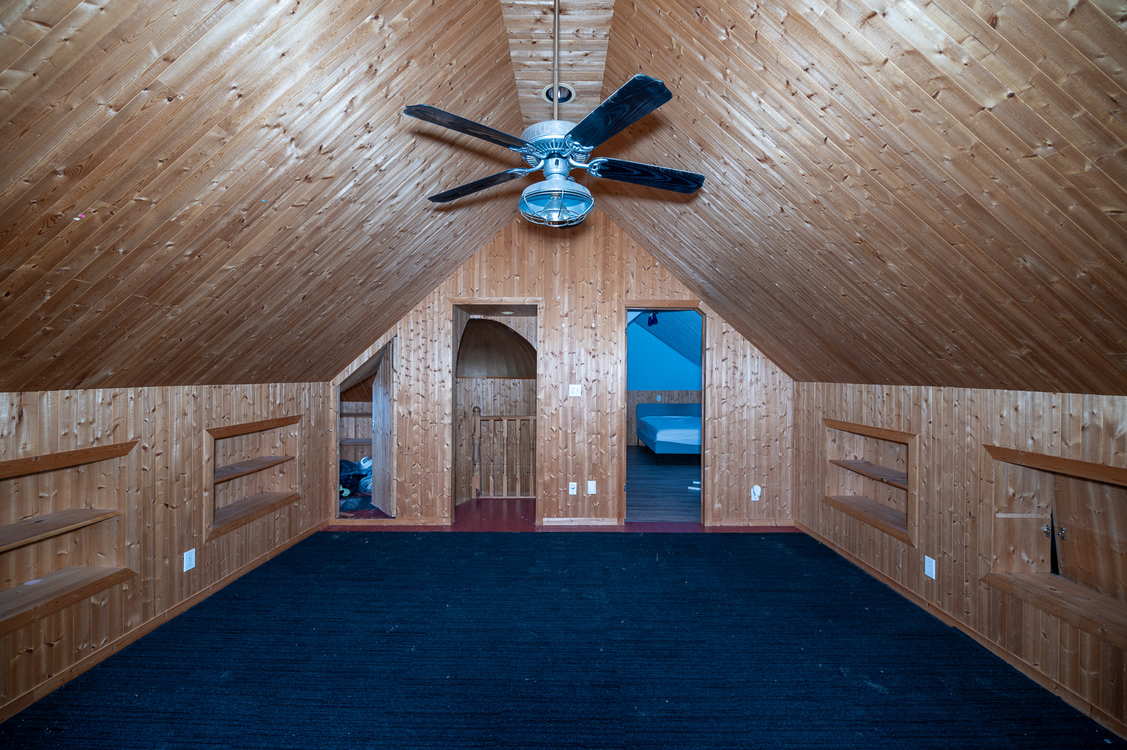
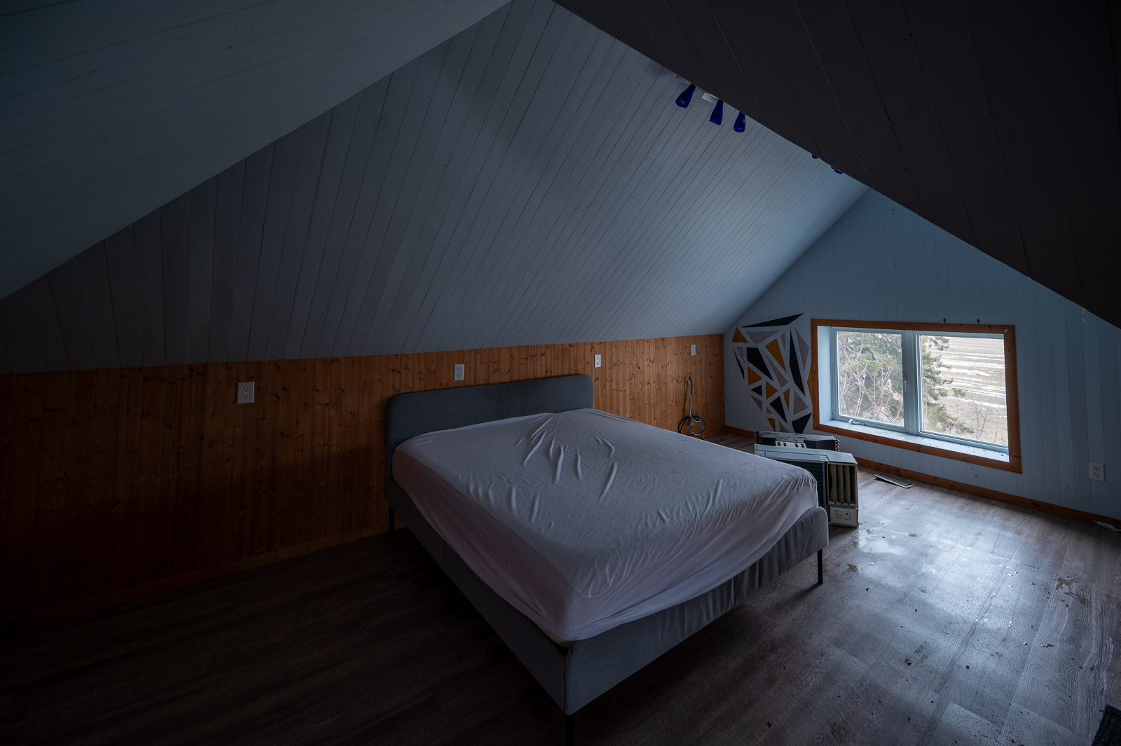
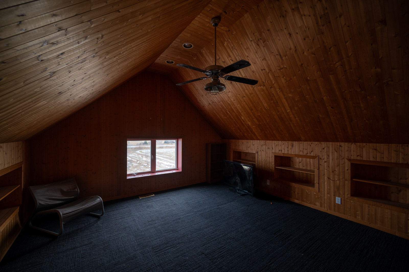
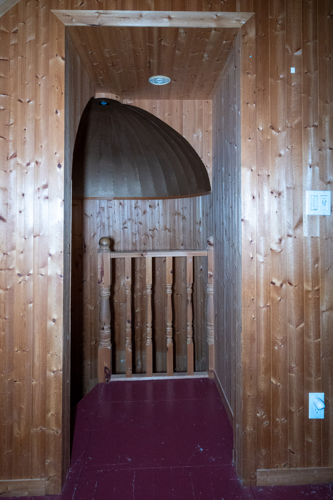
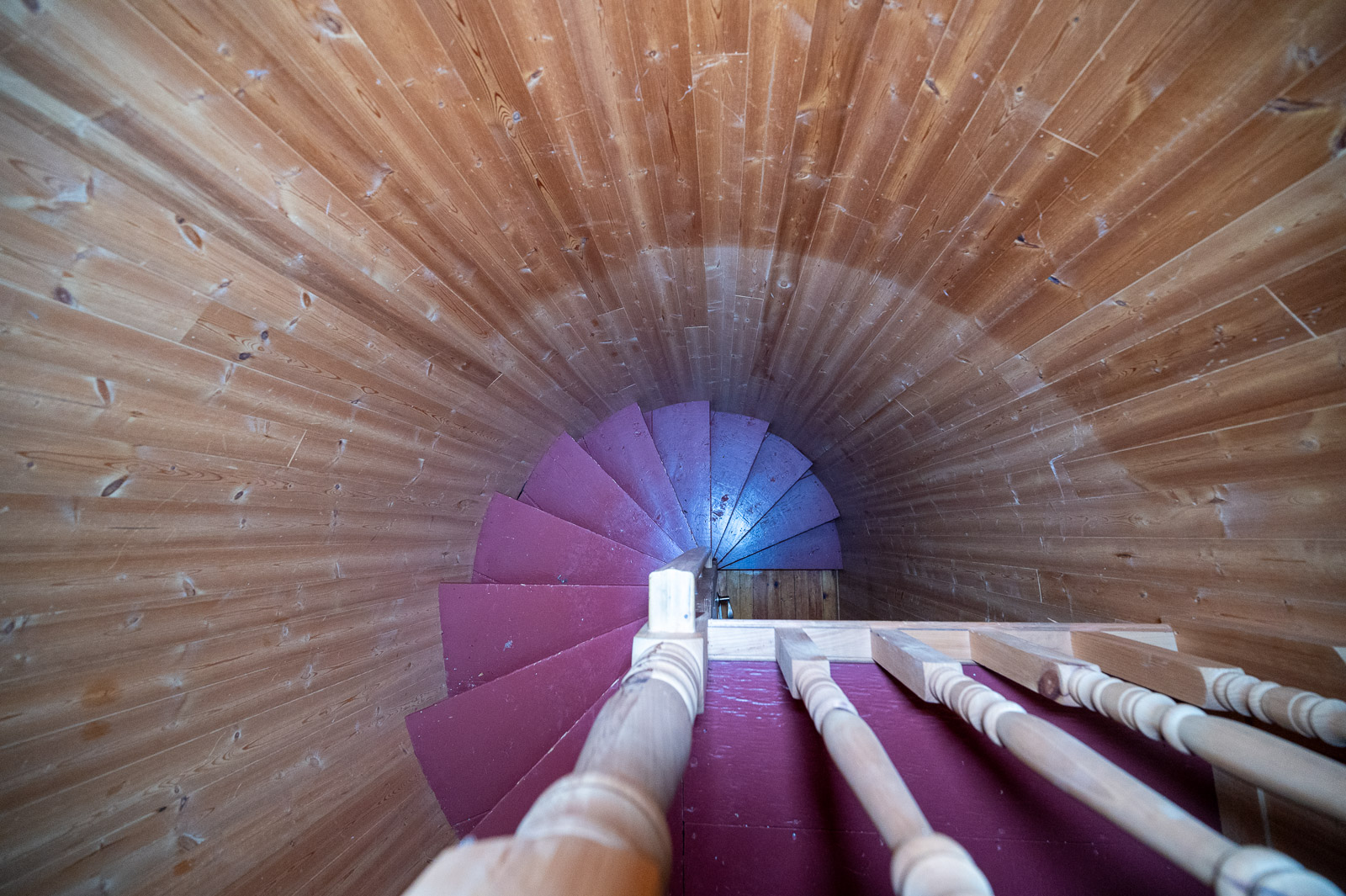
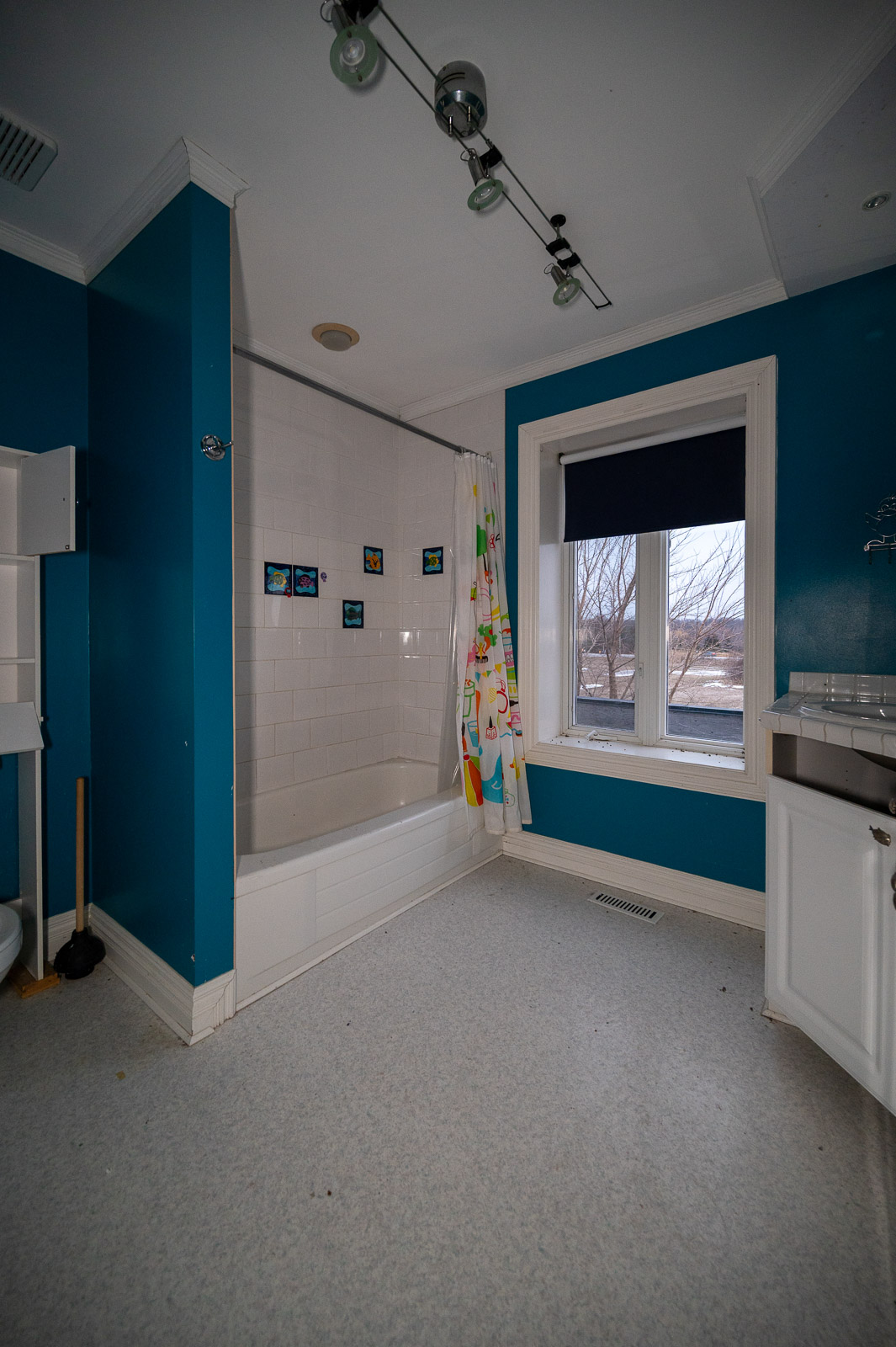
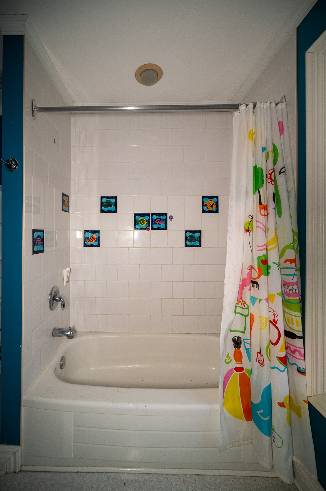
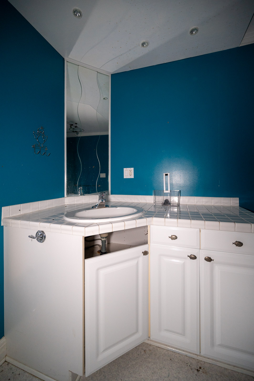
That said, very little of the original fabric survives untouched. All the original windows and doors have been replaced with contemporary versions. The front verandah has been rebuilt and is not believed to match the historic original. A vinyl-clad addition and enclosed sunroom have been added to the north and west elevations, along with a large covered deck. Inside, renovations have stripped out almost every original feature, including flooring, trim, and interior doors, with the staircase being the only element identified as original. Water staining on the east wall hints that another structure, since removed, was once attached there.
The property today includes only the house and a single small metal-clad shed. The long gravel driveway, lined with mature deciduous trees, still loops into a turnaround in front of the house, and a wooded pocket remains at the northeast corner of the lot. Everything else is open agricultural field, farmed right up until development proceeds.
The house is currently a listed (non-designated) property on the Town of Milton’s Municipal Heritage Register, a lower tier of protection that flags a building as historically noteworthy without legally preventing its alteration or demolition. It has never been formally designated under Part IV of the Ontario Heritage Act, and a professional heritage evaluation completed in November 2025 concluded that the house does not meet the threshold for designation. The assessment found the building to be a vernacular farmhouse typical of its era rather than an example of distinguished architecture or craftsmanship, and noted that the extensive replacement of windows, doors, verandah, and interior finishes has significantly compromised what heritage integrity it once had.
What’s Next: Development Plans
The writing has been on the wall for this property for a few years now. It sits within the Town of Milton’s Trafalgar Corridor Secondary Plan (Phase 4) lands, one of the next major urban expansion areas identified in Milton’s long-range growth plans, and Trafalgar Road itself is designated a future higher-order transit corridor.
The current owners, operating under the name York Trafalgar Homes (in partnership as “Hornby Land JV”), have filed a Draft Plan of Subdivision application for the site, supported by traffic studies, environmental assessments, and the cultural heritage evaluation referenced above. The heritage report’s conclusion, that the farmhouse does not warrant designation, clears a key regulatory hurdle toward eventual demolition and redevelopment, though under Milton’s official plan policies, any demolition permit would still require the building to be formally documented and recorded to a heritage-acceptable standard beforehand.
York Trafalgar Homes is an active Milton-area builder with other nearby projects underway, including townhome and single-detached communities and mid-rise condo developments in the same general corridor. Given the broader pattern of development moving through this stretch of Trafalgar Road, including similar large-scale residential proposals on neighbouring parcels, it’s a reasonably safe bet that the fields behind this farmhouse will eventually give way to subdivided streets, and that the century-old brick farmhouse itself, already stripped of most of its original character, will not be part of what comes next.
Why It’s Worth Documenting Now
This is a familiar story for anyone chasing the last of rural Ontario’s built heritage: a working farm that outlived its usefulness to agriculture, a house that changed hands a dozen times without ever losing its walls, and a quiet parcel of land that’s now caught in the gears of a fast-growing city’s expansion. The Mason family who built it, the Smiths and Shaws who farmed it, even the odd brush with Canadian horror film history through Victor Solnicki, all of it will likely be reduced to a paragraph in a planning document once the house comes down.
For now, it’s still standing. That won’t last much longer.
Sources
Cultural Heritage Evaluation Report, 6583 Trafalgar Road, Town of Milton (The Biglieri Group Ltd., November 2025); Town of Milton Heritage Register and Official Plan; Halton Land Registry Office records; Town of Milton development application records.